© 2006 Perfect Flight - Created by Marco Martini
All rights reserved
ESTIMATED TIME TO COMPLETE
20 minutes
AIRPORT FACILITY - Terminal Procedures Publication
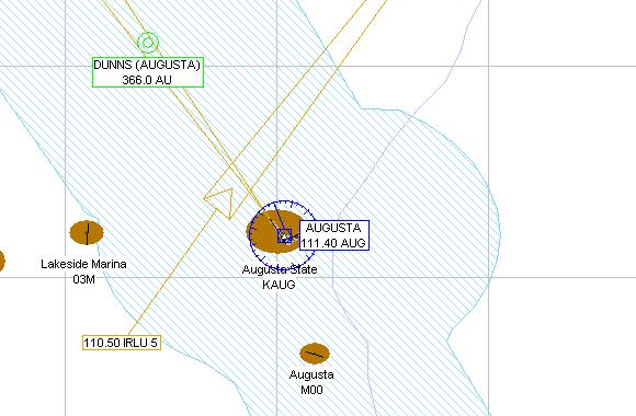
KAUG - Augusta State
Adventure
© 2006 Perfect Flight - Created by Marco Martini
All rights reserved
ESTIMATED TIME TO COMPLETE
20 minutes
AIRPORT FACILITY -
Terminal Procedures Publication
| Airport KAUG | |
| Full name | Augusta State |
| City | Augusta |
| State | Maine |
| Country | United States |
| Clearance Delivery | 119.95 MHz |
| CTAF Frequency | 123.00 MHz |
| Departure Frequency | 128.35 MHz |
| Approach Frequency | 128.35 MHz |
| Center Frequency | 124.25 MHz 128.20 MHz |
| FSS Frequency | 122.10 MHz 122.20 MHz 122.60 MHz |
| UNICOM Frequency | 123.00 MHz |
| ASOS Frequency | 118.32 MHz |
| Altitude | 351 ft |
| Mag. Variation | 17.2 deg |
| Lat/Lon | N44°19.24' W069°47.84' |
| Rwy ILS/GS 17 IAUG | |
| Airport | Augusta State |
| ILS Frequ./Range | 108.70 MHz 27 nm |
| Approach course | 170 deg |
| Glideslope altitude | 1900 ft at 5 nm distance |
| Altitude/Surface | 351 ft Asphalt |
| Length/Width | 4998 ft 150 ft |
| Runway 35 | |
| Airport | Augusta State |
| Approach course | 350 deg |
| Altitude/Surface | 351 ft Asphalt |
| Length/Width | 4998 ft 150 ft |
| Runway 8 | |
| Airport | Augusta State |
| Approach course | 79 deg |
| Altitude/Surface | 351 ft Asphalt |
| Length/Width | 2700 ft 75 ft |
| Runway 26 | |
| Airport | Augusta State |
| Approach course | 259 deg |
| Altitude/Surface | 351 ft Asphalt |
| Length/Width | 2700 ft 75 ft |
ABOUT THE FLIGHT
Follow the ATC
instructions. Head to the airport, land on the assigned runway, and taxi to the
parking area of your choice.
There is no flight plan associated with this Flight, so no course line will show
up in the GPS and there won't be any information in the Navigation Log.
NOTE
For variety, you can re-fly this Flight with a different aircraft, at a
different time or in a different season or with different weather conditions.
For maximum realism, use the Real-World Weather feature.